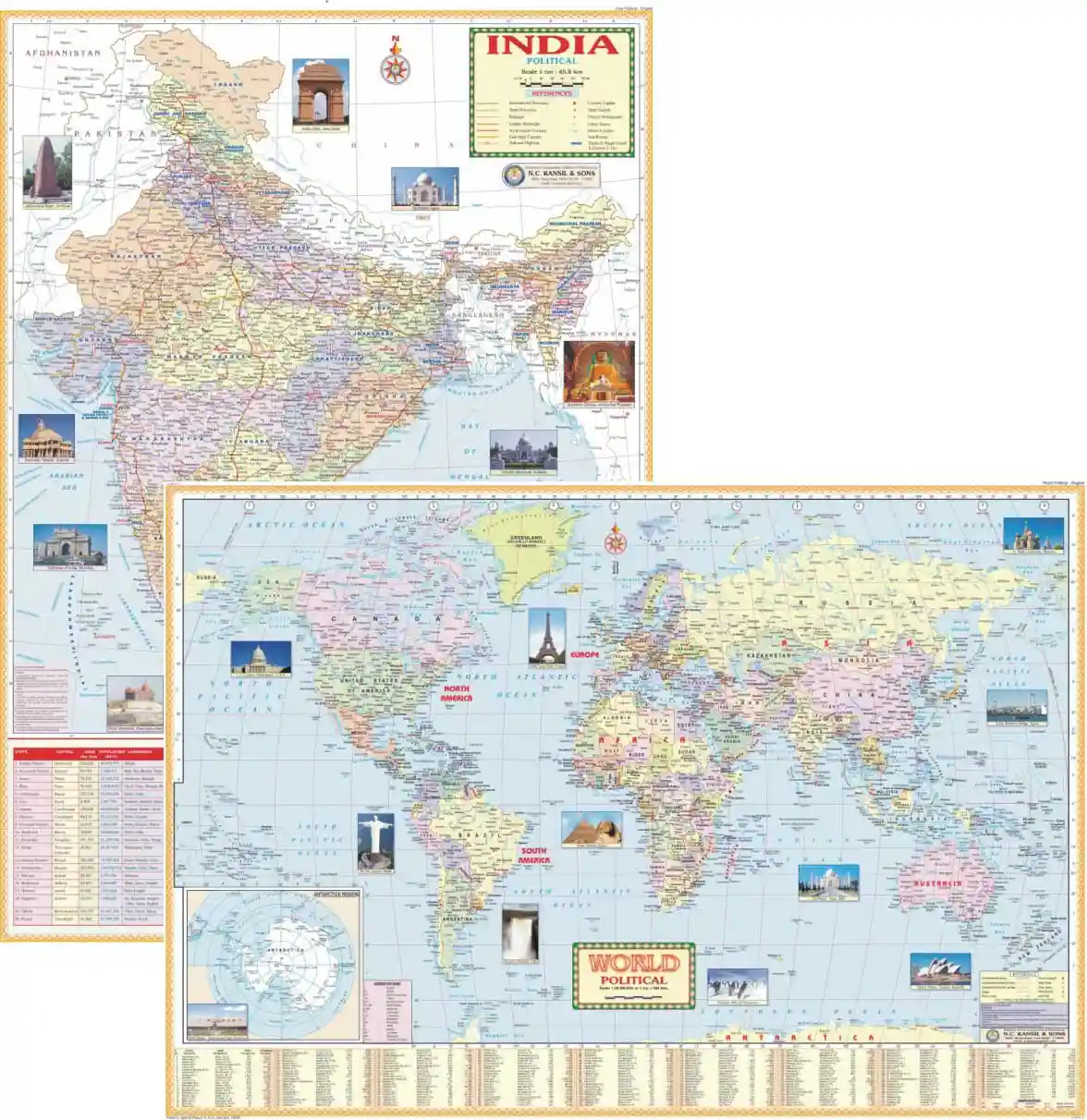
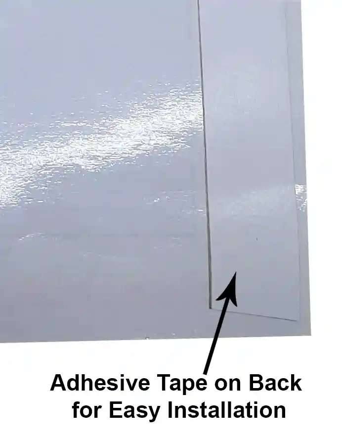
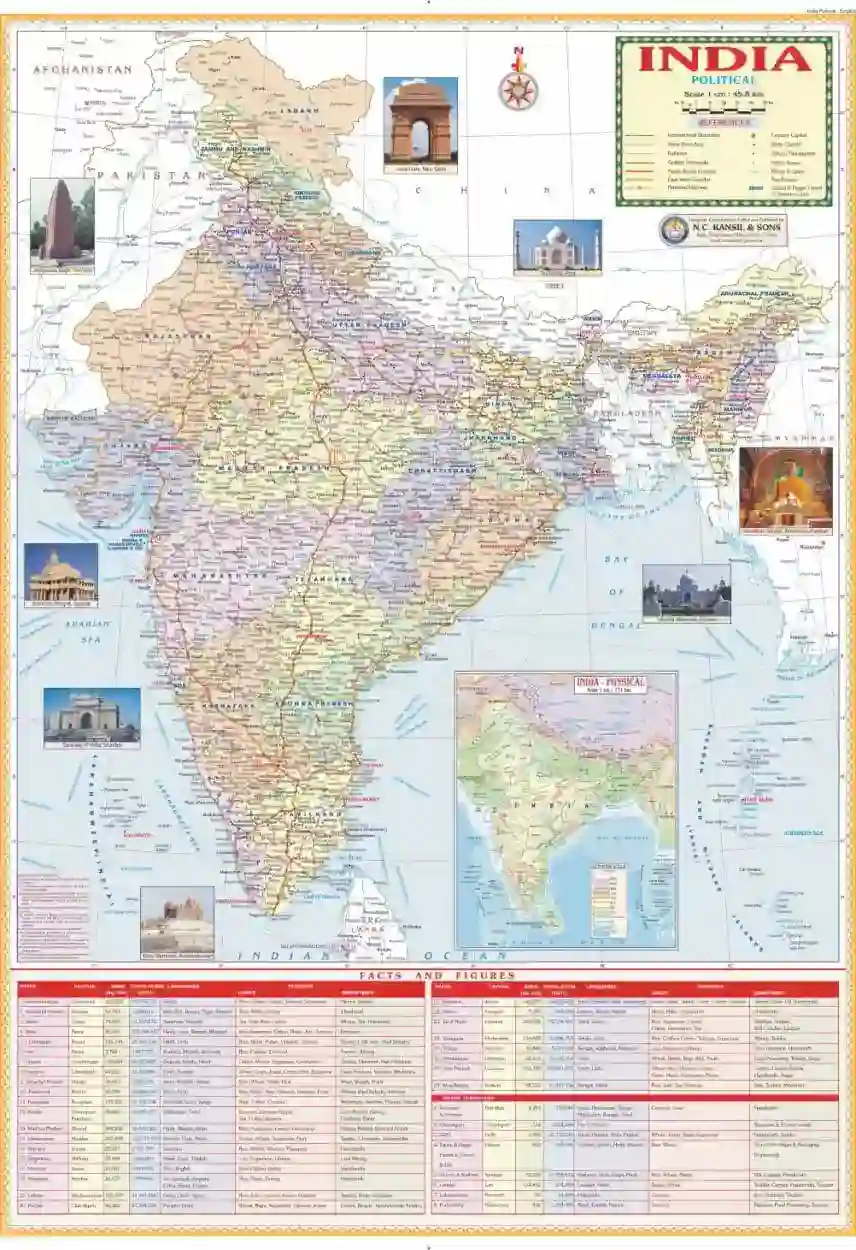
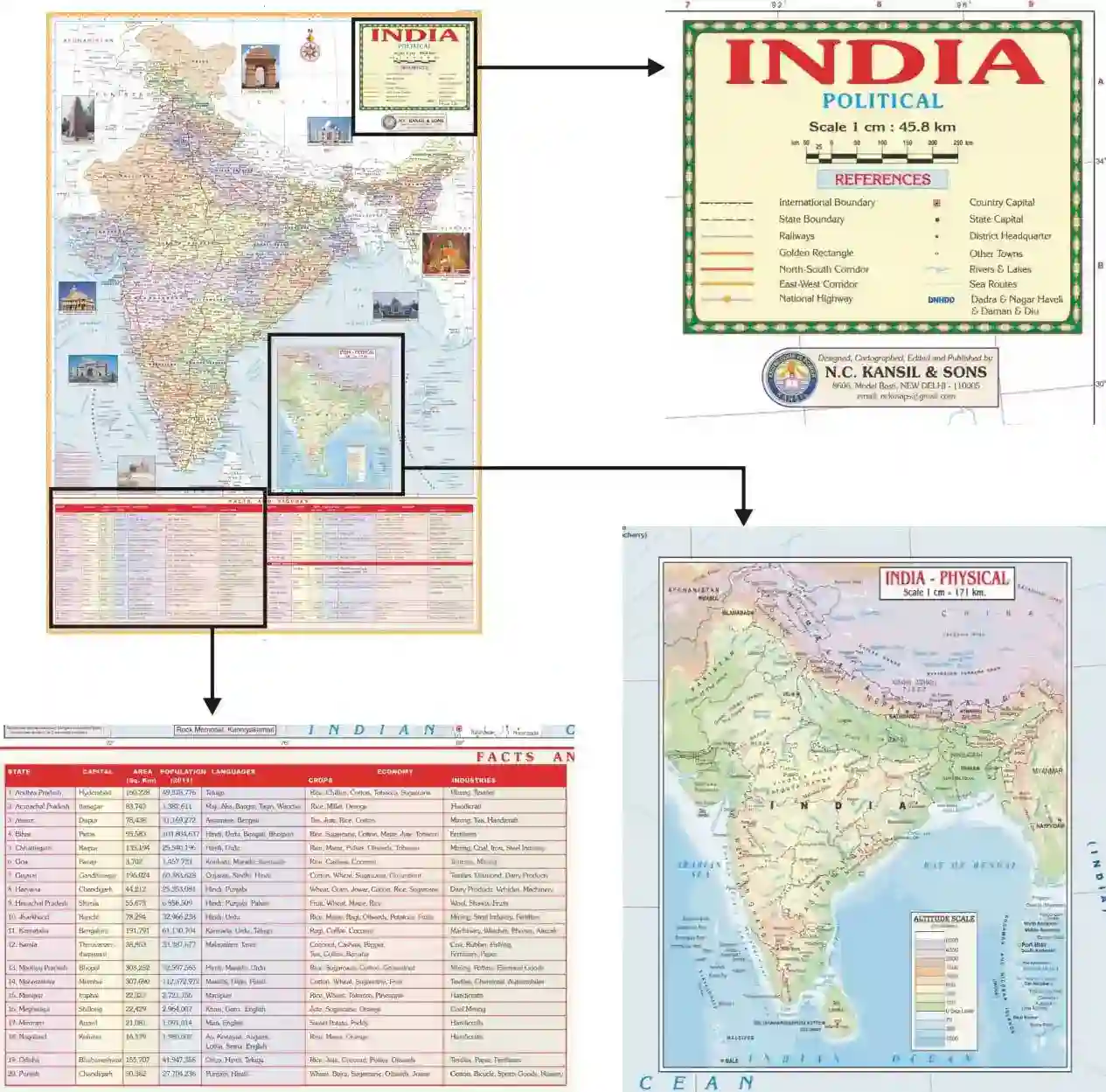
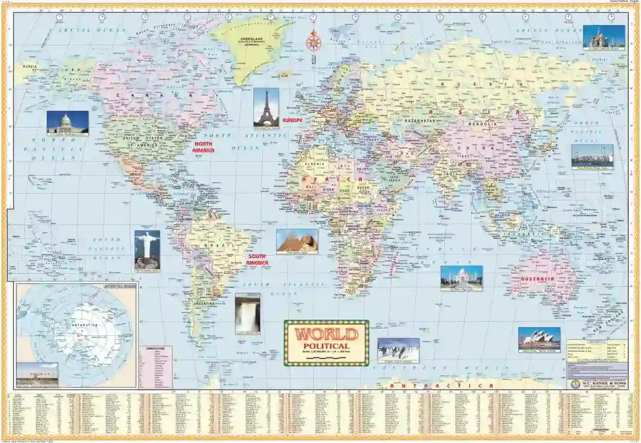
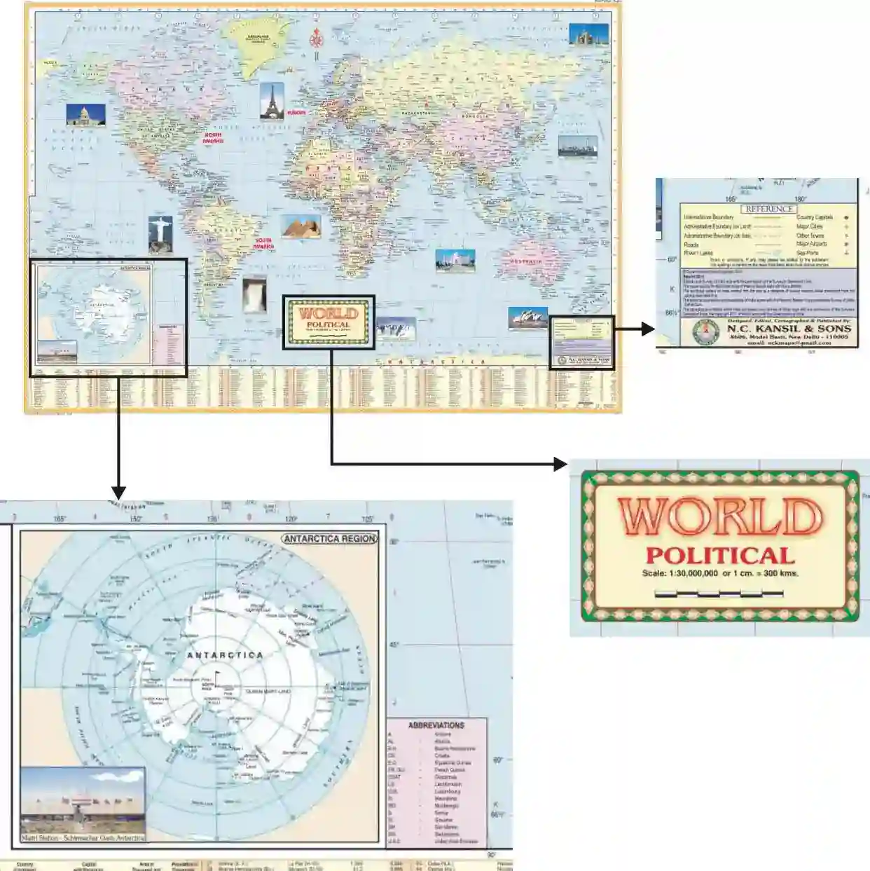
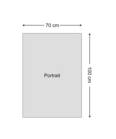
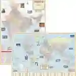
Size 70 x 100 cm & 100×70 cm. English Language. External boundary is certified by Survey of India. Printed on thick Offset paper in multicolours duly laminated using thick polyester film. Easy to install with help of double side tape provided. Political map of India shows administrative boundaries, States & their capitals and major towns, Rivers, Railway network, Road network showing all major national highways, Golden quadrilateral, North-South & East-West Corridors etc. Brief statistical data of Indian states is given at the bottom. Political map of world shows all the countries & their capitals, major towns, rivers etc.
Map Combo 3: India Political Map 70×100 cm + World Political Map 100×70 cm English Without Rollers
Original price was: ₹500.00.₹398.00Current price is: ₹398.00.
In stock
| Weight | 0.4 kg |
|---|---|
| Dimensions | 70 × 5.5 × 5.5 cm |
Add a review
Currently, we are not accepting new reviews

Reviews
There are no reviews yet